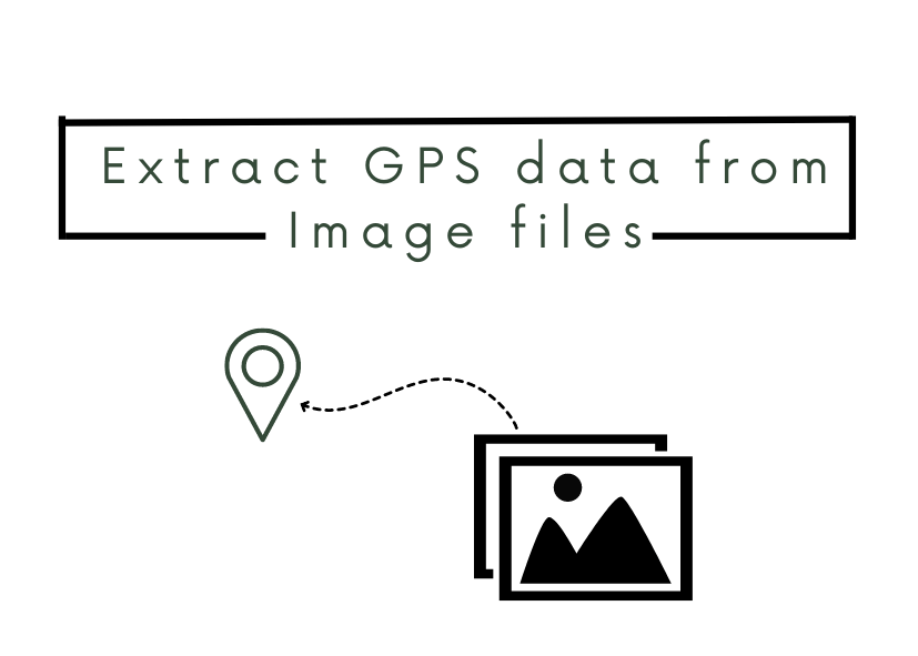
What is Image GPS data?
Global Positioning System (GPS) data is the latitude and longitude coordinates that can be linked to the image. It is a part of an image’s metadata and usually, it is used to record where the picture was taken/created. Most phones nowadays automatically attach the GPS data to the images you take.
Where can I find it?
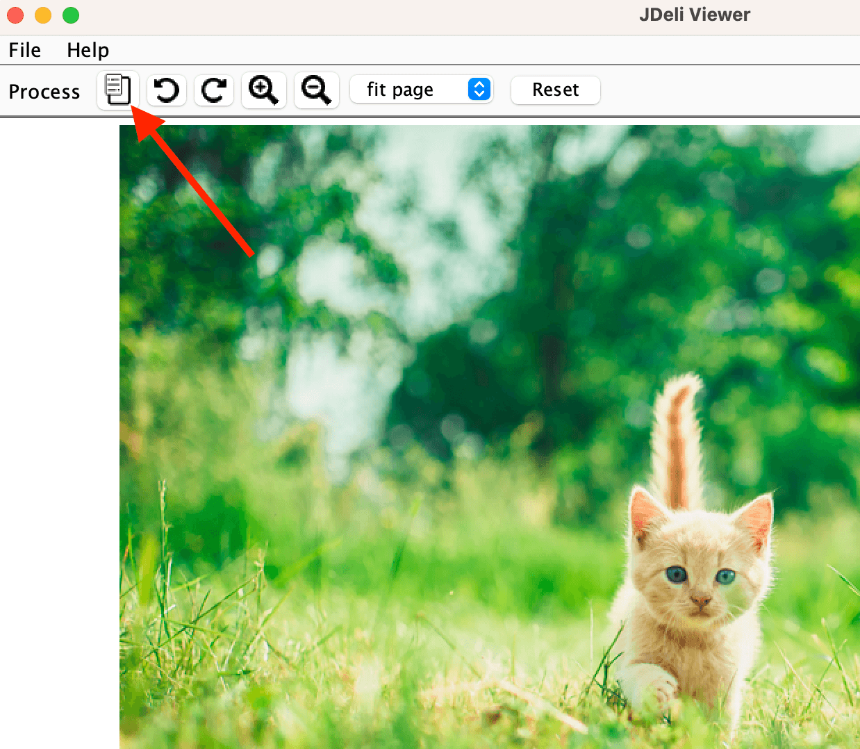
It is a part of the EXIF data, which is the metadata of an image. It can be found in the following image formats HEIC, JPEG, PNG, TIFF, WEBP. You can easily view the metadata in an image, you most likely have found it before when clicking to look for more information when viewing an image. In our JDeli Viewer, you can easily find it here.
How can I extract Image GPS data in Java?
There are many ways for you to extract GPS data from an image in Java. You can use ImageIO, Apache Tika or our JDeli library.
They all give an easy and simple way to extract the metadata in just one or a few lines of code.
With JDeli:
JDeli.getImageInfo(byte[] data);With Tika:
final ImageDetector detector = new ImageDetector();detector.detect(TikaInputStream.get(Paths.get("file.img")), null);With ImageIO:
ImageReader imageReader = ImageIO.getImageReadersByFormatName("ImageFormat").next();

imageReader.setInput(ImageIO.createImageInputStream(new ByteArrayInputStream(byte[] data)), true);
IIOMetadata metadata = imageReader.getImageMetadata(0);
You can find out more about handling metadata with our JDeli Image Library over on our support site. JDeli is the best pure Java image library for image manipulation.
As experienced Java developers, we help you work with images in Java and bring over a decade of hands-on experience with many image file formats.
Are you a Java Developer working with Image files?
// Read an image
BufferedImage bufferedImage = JDeli.read(avifImageFile);

// Write an image
JDeli.write(bufferedImage, "avif", outputStreamOrFile);
// Read an image
BufferedImage bufferedImage = JDeli.read(dicomImageFile);// Read an image
BufferedImage bufferedImage = JDeli.read(heicImageFile);
// Write an image
JDeli.write(bufferedImage, "heic", outputStreamOrFile);// Read an image
BufferedImage bufferedImage = JDeli.read(jpegImageFile);
// Write an image
JDeli.write(bufferedImage, "jpeg", outputStreamOrFile);
// Read an image
BufferedImage bufferedImage = JDeli.read(jpeg2000ImageFile);

// Write an image
JDeli.write(bufferedImage, "jpx", outputStreamOrFile);
// Write an image
JDeli.write(bufferedImage, "pdf", outputStreamOrFile);
// Read an image
BufferedImage bufferedImage = JDeli.read(pngImageFile);

// Write an image
JDeli.write(bufferedImage, "png", outputStreamOrFile);
// Read an image
BufferedImage bufferedImage = JDeli.read(tiffImageFile);

// Write an image
JDeli.write(bufferedImage, "tiff", outputStreamOrFile);
// Read an image
BufferedImage bufferedImage = JDeli.read(webpImageFile);

// Write an image
JDeli.write(bufferedImage, "webp", outputStreamOrFile);
What is JDeli?
JDeli is a commercial Java Image library that is used to read, write, convert, manipulate and process many different image formats.
Why use JDeli?
To handle many well known formats such as JPEG, PNG, TIFF as well as newer formats like AVIF, HEIC and JPEG XL in java with no calls to any external system or third party library.
What licenses are available?
We have 3 licenses available:
Server for on premises and cloud servers, Distribution for use in a named end user applications, and Custom for more demanding requirements.
How does JDeli compare?
We work hard to make sure JDeli performance is better than or similar to other java image libraries. Check out our benchmarks to see just how well JDeli performs.